Lone Star Hiking Trail
My first visit to Texas was in 1976. Drove from Denver to Austin to visit a friend who was attending the university there. Continued on to San Antonio, then across the border at Laredo; my first visit to Mexico. Crossed back into the U.S. at Brownsville, followed the Gulf Coast up to Corpus Christi, back to Austin for a couple more days, then home. Second visit was in 1987 for a 30-day Army leadership course in Ft. Bliss outside of El Paso. I conducted several team building programs for corporate clients in Dallas in the 90s and have seen the inside of the Houston airport numerous times on my way to and from Mexico, Costa Rica, Puerto Rico and Peru. Figured I should finally get out of that airport and see a bit of east Texas.
I first read about the Lone Star Hiking Trail (LSHT) in an article about through hikes. As through hikes go, this one is fairly short. 96.5 miles from west to east. Relatively flat. Heavily forested. Water should be reliable this time of year. No schedule. No deadline. But figured I could do it in 7-8 days. Maybe in six.
The Lone Star Hiking Trail Club maintains a website at lonestartrail.org with maps and detailed trail information. You can print out a very detailed guide from the website. I chose instead to create my own spreadsheet with tidbits of information from the guide.
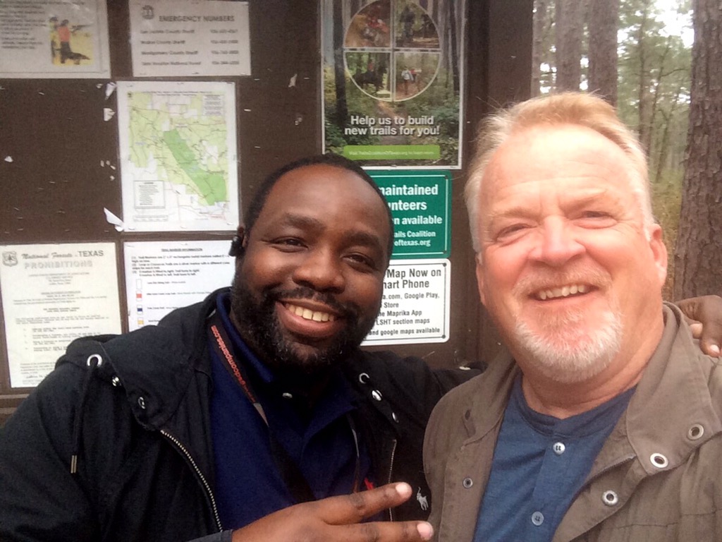
Plan was to get an Uber driver to take me from the airport to the north side of The Woodlands where I would start hitchhiking. I’m new to the Uber app. Entering Richards as a destination resulted in “No Service Available” messages, so I kept entering closer destinations until I got a hit – The Woodlands. Landed in Houston at 6:00 AM. 45 minutes later I was explaining my plan to Frederick, my driver, who agreed to take me all the way to the trailhead, stopping along the way to pick up water and fuel for my alcohol cook stove. Thanks to Frederick I was able to hit the trail by 8:30.
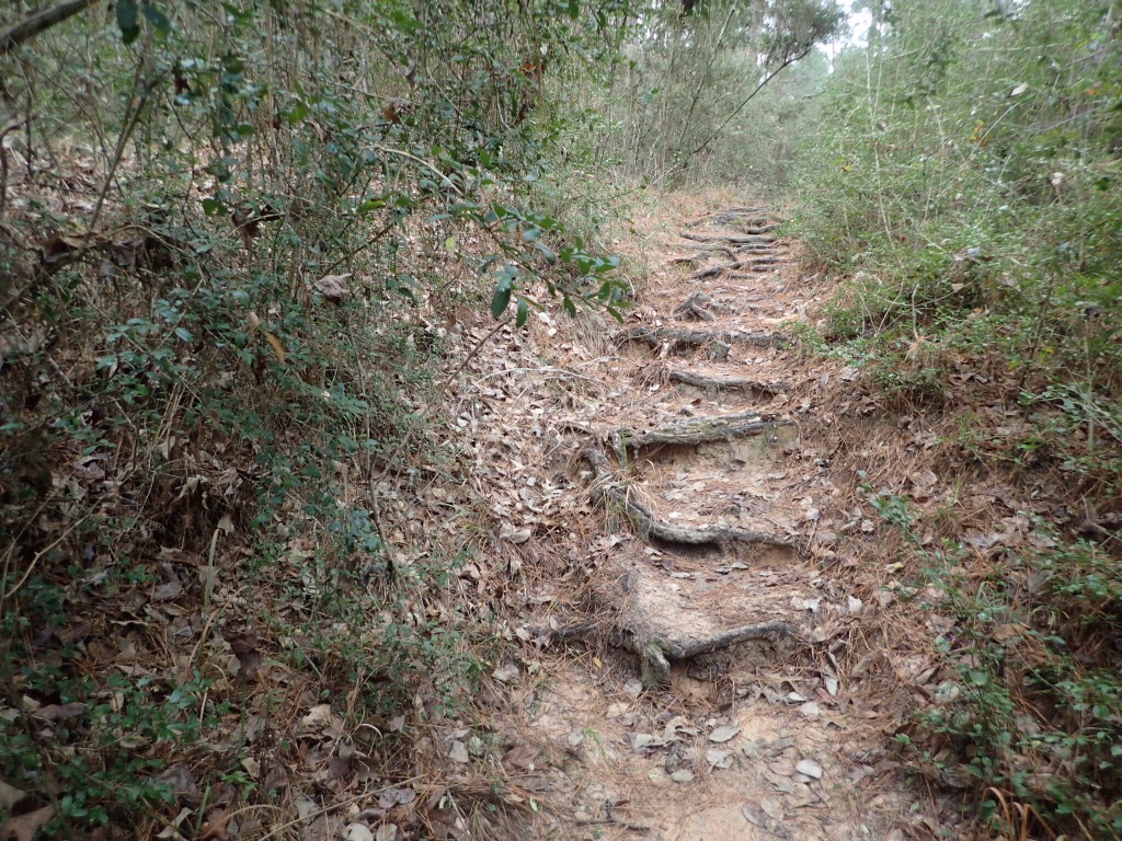
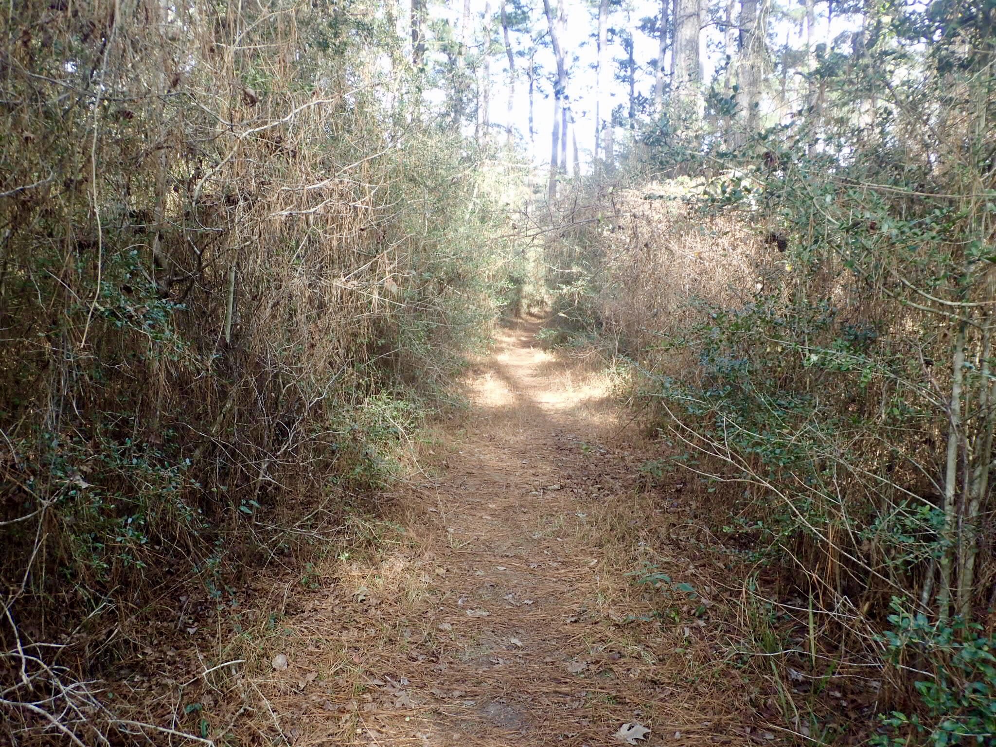
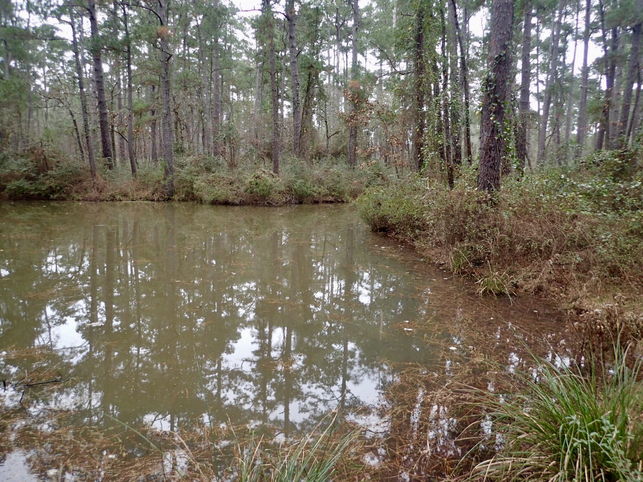
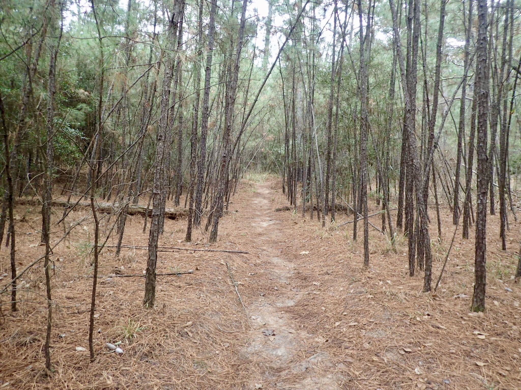
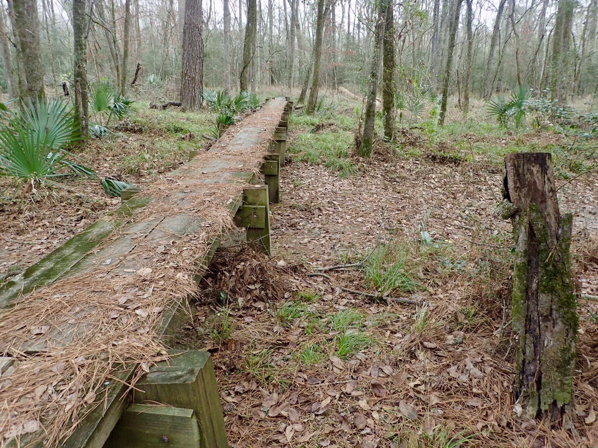
The trail runs through pine forest, past streams and ponds and across the San Jacinto River. There is an area not far from here called the Big Thicket. I’ve never been there, but after seeing sections of the LSHT I have a pretty good idea what it’s like. There are places where the trail resembles a hallway cut through walls of dense vegetation.
I met two men from Houston about three miles in who were finishing an over-nighter. Didn’t see another soul on the trail after that. Complete silence, except for the birds. And vehicles when the trail wound close to a road. And occasional gunfire off in the distance. But mostly silence. Inspired on multiple occasions to sit on a log and play my Native American flute. Seemed surreal. Nothing better than a long walk in the woods to put the brain in neutral.
One downside to doing this hike during hunting season – dispersed camping is not allowed. One must camp in designated camping areas only, so distances hiked need to be planned to match campsites and water sources.
Day one. 11.8 miles, plus another half mile on a side trail to a primitive campsite.